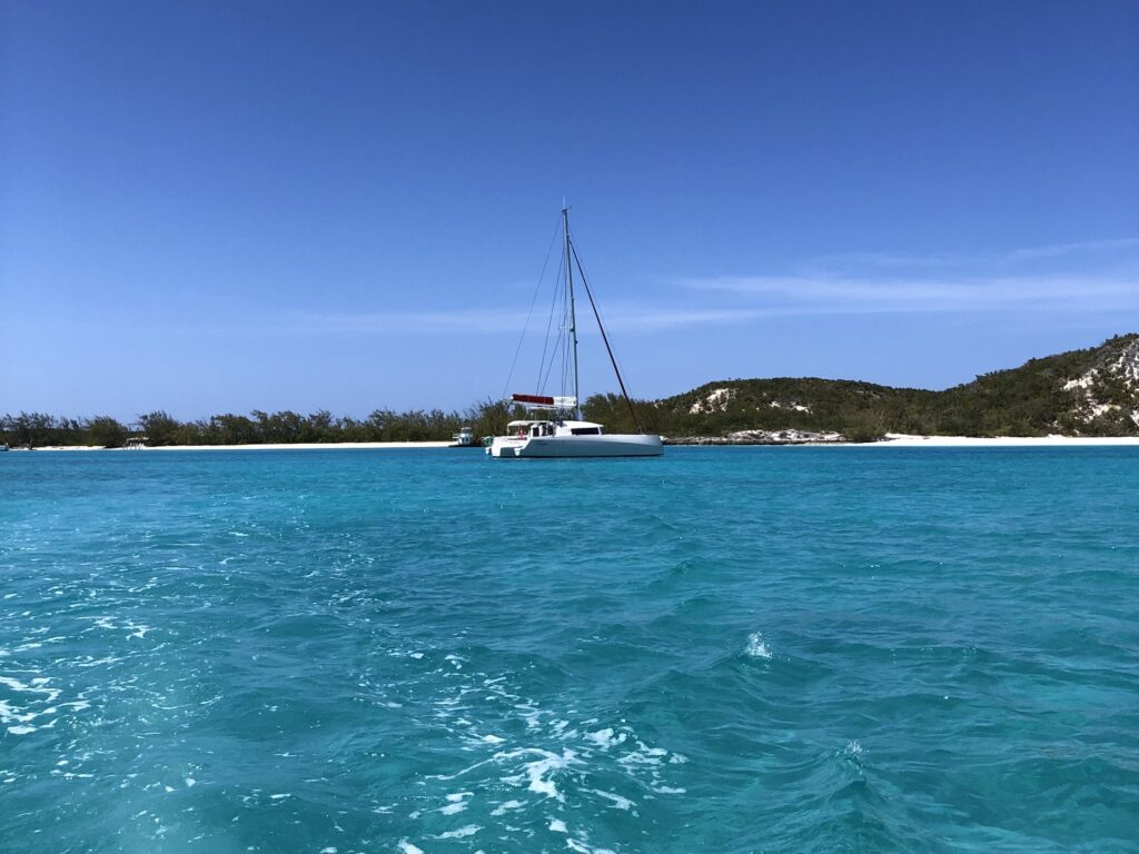
Because we are quite behind with our blogposts, we decided to skip ahead some time to be more up-to-date. We plan on writing the blog later backwards in time. So for the moment, enjoy part 1 of the Bahamas.
We arrived after a full day of motoring into the Dominican Republic coming from Puerto Rico. A friend of ours, Diego, would join us there so we had to leave that day although there was no wind and motor all the way. Cruisers always say that having a timetable is a bad idea as it forces you against the weather (which I totally agree with). However, picking up our friend was certainly worth it as he would be helping us with the crossing to the Bahamas.
We went to Cap Cana Marina in Punta Cana on the east coast of the Dominican Republic. We did not really have another option as there are no other anchorages or marinas on the east coast. Also, the clearance process can be a bit complicated, as several officers have to visit the boat, including the Armada (the navy) and you have to go to an office every time you move the boat to another anchorage. The marina coordinates everything so all the people would show up at the same time which was very convenient for us.
We arrived with our boat in a „Venice“-style resort town. The buildings were all made out of large blocks of marble with big piazzas as if we were back in Europe in the middle of a historical city. The dock though was a bit less luxurious, a concrete pier with millions of mussels growing on the wall that looked like they were just waiting to cut into the side of our boat. We managed to dock quite nicely, still a couple of centimetres away from the mussels. Soon after 6 or 7 officials showed up for the clearance process. Unfortunately, we didn‘t bring enough cash for the clearance, as we expected they would either take credit cards or have an ATM in the resort. It turned out that the ATM had been out of order for a long time and only a part of the fee was payable by credit card. We only had a large bank not left in cash and they did not have any change. Luckily, they called some guy who came by sometime later and pulled some very old crumpled-up bank notes out of his pocket and we could pay one of the officers. But paying the other officers turned out trickier than it seemed. They first had to call their boss to set up the credit card machine. We knew that we had to pay around 100 USD but when they finally managed to get the card machine running it was asking us for 3’800 USD. Luckily we realised before confirming the transaction and told them that it was showing the amount in USD. They looked at it again and assured us that they converted it into Dominican Pesos, so it would end up being 100 USD. After some discussion, they reprogrammed the machine again with the help of the tech expert on the phone. This time it was actually 3’800 Pesos, not 3‘800 USD, which was the right amount. We quickly learned (as we had heard before), that the people are very friendly, but everybody tries to scam you wherever they can (and it is as bad as it sounds). The Dominican Republic is (with the exception of Haiti) one of the poorest countries in the Caribbean. But we didn‘t see much of that in the expensive holiday resort where our marina was in.
We decided to rent a car to do some grocery shopping, as there was no shop in the resort, and to pick up Diego from the airport. But of course, to make some more money off of tourists you were not able to rent a car for only one day, the minimum was two days. So we still rented the car because without it we couldn’t get out of the resort, although we were going to leave the next morning. And of course, the gas tank was empty (presumably because they pump it out before they rent it out again as people tend to bring the car back with more fuel than they got it). But it was still the better option as taxis were ridiculously expensive. They told us that the car was already in the parking lot, but it was not. After waiting for half an hour a couple of guys showed up in a car and told us they could bring us to the airport to pick up the car. But the car only had space for one more person and Jenny had to wait in the marina. Since they were in quite a rush I forgot to give Jenny the boat keys and she had to wait in the parking lot for 1.5 hours although it was only a 15-minute drive to the airport. By that time we were quite fed up with the whole place. To get back into the resort I had to show my visitor pass that we had gotten earlier. However, at the gate, I was told that we were only allowed to enter through the other gate which meant I had to turn back around, and make a detour to enter through another gate only to end up back on the same road. They were very strict in the resort with security as apparent by lots of guards in uniform. The gate looked like a national border and it had a big queue of cars in front. This gives a small hint to the security issues they have.
Driving through Cap Cana was quite an experience by itself. Everything was incredibly tidy, a big highway (with loads of locals picking up the trash on the side) and lots of impressive buildings. Many huge and well-built mansions as well as modern apartment complexes with enormous glass fronts on all sides. It looked like we were in one of the richest countries in the world, but it was all holiday homes for rich tourists. The only sight of the poverty we got was when the workers from the big construction sites went home. They were transported in the back of big pickup trucks filled to the top, with people hanging from the sides holding on.
There were a couple of restaurants in the resort but as it wasn‘t open to the public it was a bit of a ghost town. We were told that because the locals aren‘t allowed to go to these restaurants they close down every couple of months because they don‘t have enough customers. We took the dinghy to go to the other side of the marina where there was a surprisingly authentic Italian restaurant with gluten-free pasta and probably the best pizza dough in the Caribbean. And a real gelato topped off the evening, it was a delight.
We got up early the next morning as we wanted to leave for the Bahamas. The wind was coming from the right direction, although it was a bit strong and 2 to 2.5 m waves were predicted. It would be our last overnight passage (and the first one since the Atlantic), so we were a little nervous and very keen on getting it done. After getting the exit clearance from the Armada and all the officers again, we decided to head out into the waves and wind. Due to the seastate Jenny and I decided to take our seasickness patches before leaving. Diego on the other hand, who has not done a long offshore passage yet, wanted to try it without.
We first had to head north into the wind before we could turn west. We motored into the wind for a short time but were soon able to sail it close-hauled. We still had the Gennaker up from the last passage and left it there thinking we might use it in the afternoon. But the winds had already gotten stronger than predicted and a force 4-5 turned into force 5-6 apparent as we were heading into the wind. Suddenly, the Gennaker started unfurling itself from the top, which is why you are not supposed to leave it up in strong winds. Luckily, since we have this fancy top-down furler, we were able to furl some of it up again and managed to put it away, so no Gennaker for this trip. But it turned out it wasn‘t necessary anyway. There were quite some waves when we headed into the wind and it didn’t take long before Diego experienced his first dose of proper seasickness. I quickly decided to give him one of the patches too. Jenny and I felt surprisingly well, it certainly seemed to work for us this time.
After roughly two hours we were finally able to bear away and point downwind. The waves were still growing in size, but coming from behind now which made them more bearable. And wow did Tremoggia perform! We did the whole passage with an average speed of 9 knots, just flying along! This is over 210 nm a day, we would have loved that speed across the Atlantic. We regularly hit 12-13 knots surfing down waves and a couple of times even over 16 with a top speed of 16.4 knots. We were very happy about that. The 360 nm were quickly over and we arrived much earlier than anticipated in the middle of the night on Great Inagua in Matthew Town.
Matthew Town sits quite alone in the very south of the Bahamas, and you really felt that. We managed to get through the immigration process, although it took us all morning because of a misunderstanding. Someone called the customs and immigration officers and we were told to wait at the dock, where the post boat was just being loaded. The post boat comes only once a week and brings all the necessary goods for the islanders from Nassau. A lot was going on as loads of people were sending packages to friends and family outside of Great Inagua. The customs officer came to sign some documents but we didn‘t realise that he was there. So after he finished his paperwork for the post boat he returned to his office. Only after another hour or so did the people on the dock realise that we were still waiting and called the officer again. So he came back again with our forms to fill out. He then also had to go back to his office and print out our cruising licence, stamp our passports and bring them back again to us. So after a couple of hours, we were finally cleared in.
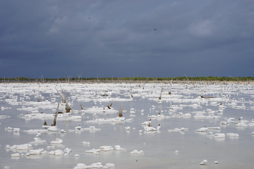
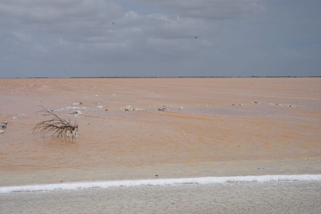
Matthew Town is a very small town with not much to see or do. We had lunch in one of the two restaurants, which was more of a private house where someone cooked for the residents every day. As there is zero tourism on this island (except for a couple of fellow cruising boats) we had to rent a car if we wanted to see anything. So we rented a small city car from some local guy which wasn’t really a rental car. It was his personal car that he rents out when he doesn’t need it for himself. Driving out of town we quickly found ourselves on sandy roads. The locals recommend not going any further without a four-wheel drive but we really wanted to see the salt flats and also Lake Rosa. Salt production is Great Inagua’s main industry and on Lake Rosa, you can find one of the world’s largest breeding colonies of West Indian Flamingos (now approximately 70’000 individuals after coming back from the edge of extinction).
We made it to the salt flats without any problems, but from then on the roads deteriorated steadily and we found ourselves in some precarious situations. To make the situation worse, we forgot to fill up with gas and the level suddenly dropped faster and faster as the tank level sensors in these cheap cars can be quite inaccurate. We made it to the lake though and were delighted to see thousands of flamingos on the horizon, it was quite spectacular.
We saw a road that crossed over the lake and in theory, would have been the shortest way home which was quite important as the gas level was getting very low. But halfway across the lake, the road got so narrow and rocky that we decided to turn around as it would take us hours to continue at such a low speed and we didn‘t know if we would hit a dead end. It was quite stressful but in the end, we made it back into town with a very empty fuel tank that would have probably only lasted for one more kilometre. The gas station was just one pump with a 2 by 2 meter roof on top, and an old lady sitting there in a plastic chair all day in the heat.
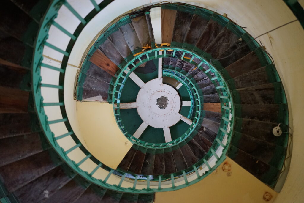
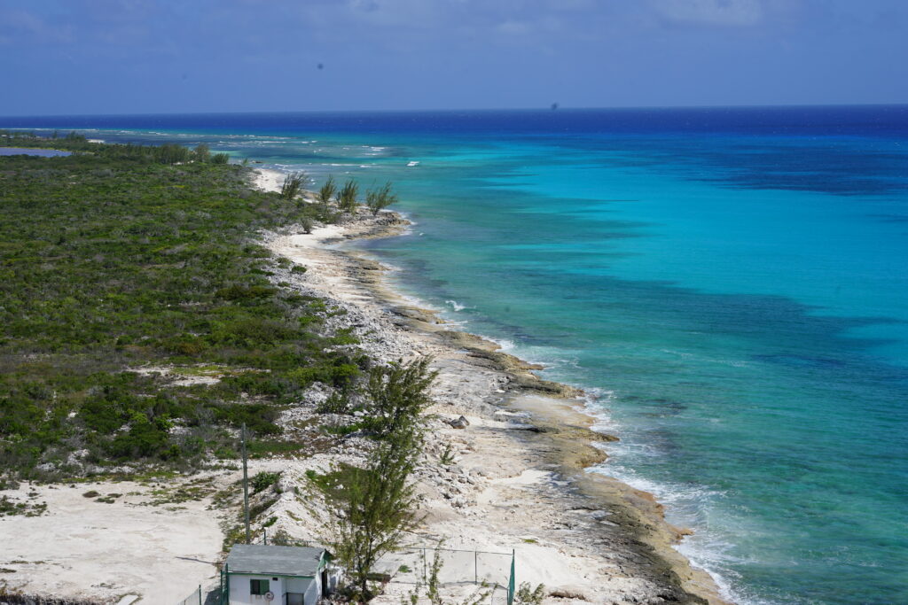
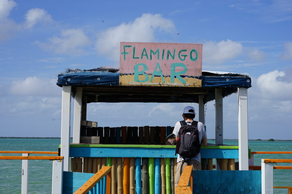
We then visited the lighthouse we saw when arriving with our boat in the night. You could go up to the top where we had an amazing view, although the ascent was a bit scary since some of the wooden steps were missing and there were some big holes in the floor. But it was quite impressive seeing the big light up close. Usually, you are never allowed to go up into the lighthouse. We also wanted to see how far the road continued into the other direction where we found another lake with a derelict bar on a wooden pier.
We enjoyed our stay on the island but we were very glad we could leave the next day as they had an incredible mosquito problem. We had never seen anything like it. Usually, the mosquitos don‘t come out onto the boat if there is even a little bit of wind. It was very windy during our stay and we were anchored quite far from land but we were still swarmed by them. Not even mosquito repellent helped anymore. The whole town was just a big mosquito nest. I really hoped it would not be like that in the whole of the Bahamas, as this was just unbearable. Luckily it got better on the other islands. The Bahamas seem to have local mosquito outbreaks from time to time. The government then comes along with a truck spraying mosquito poison into the air.
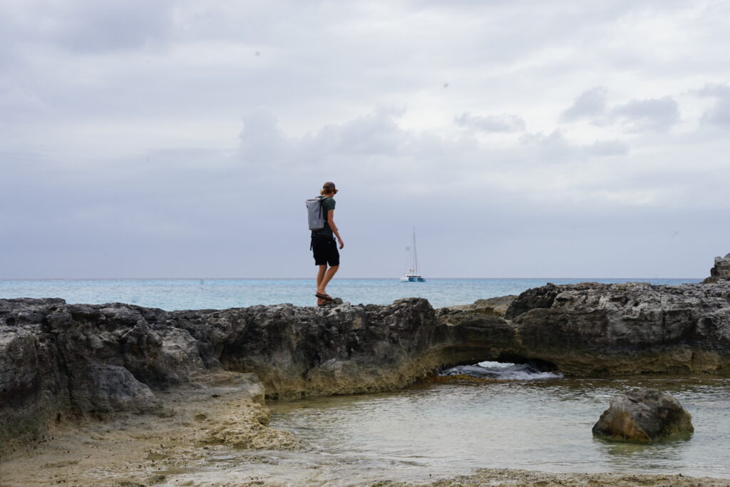

The next stop on our voyage were the Acklin Islands. The typical distances between the islands in the Bahamas are much bigger than in the Caribbean, around 60 nm. We set anchor before sunset at the southern tip of Acklin in Jamaica Bay, where a few other boats were also anchored.
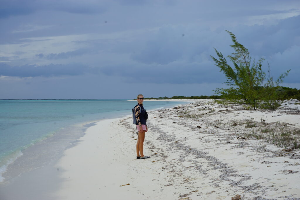
We moved up north the next day to Fish Cay, a small island where we were alone for the night. It had a stunning beach where Jenny went to discover some new birds. We found loads of very good dry firewood and decided to have a barbecue on the beach. We grilled some vegetables and sausages over a small bonfire, listened to the birds and looked at the stars, it was a beautiful night.
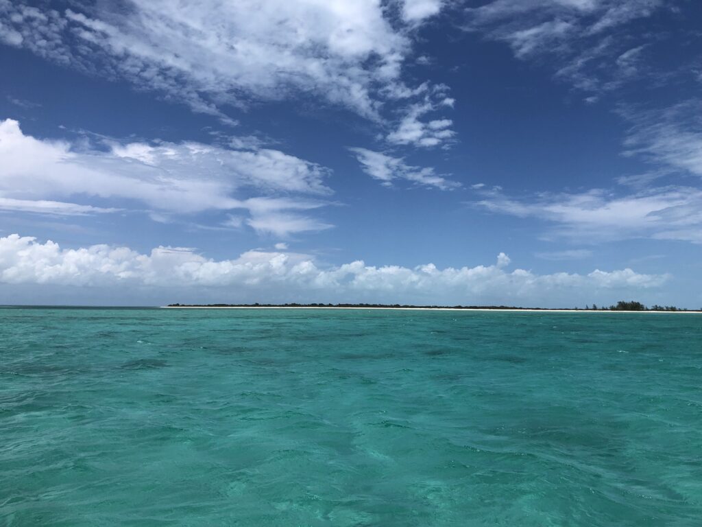
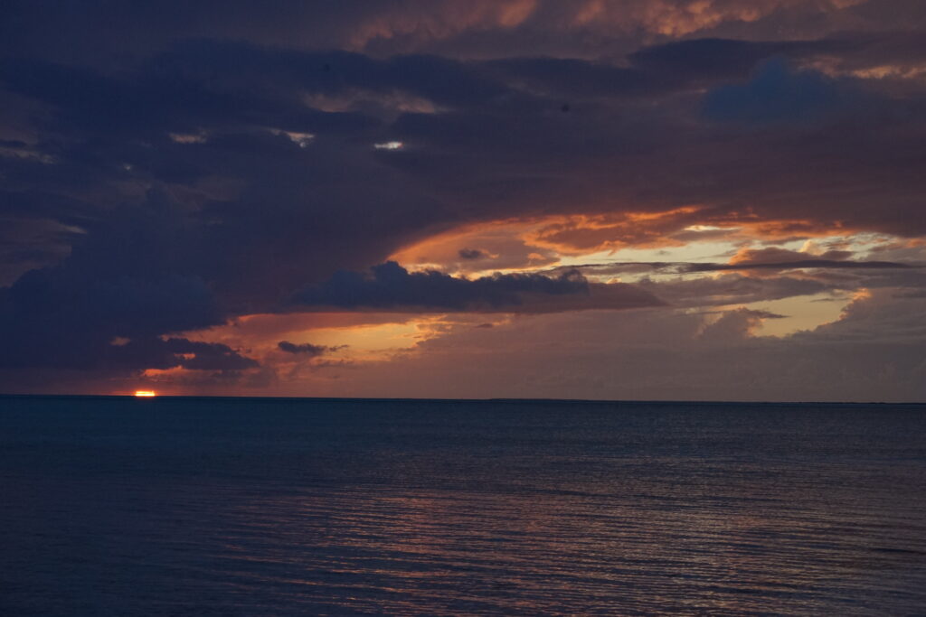
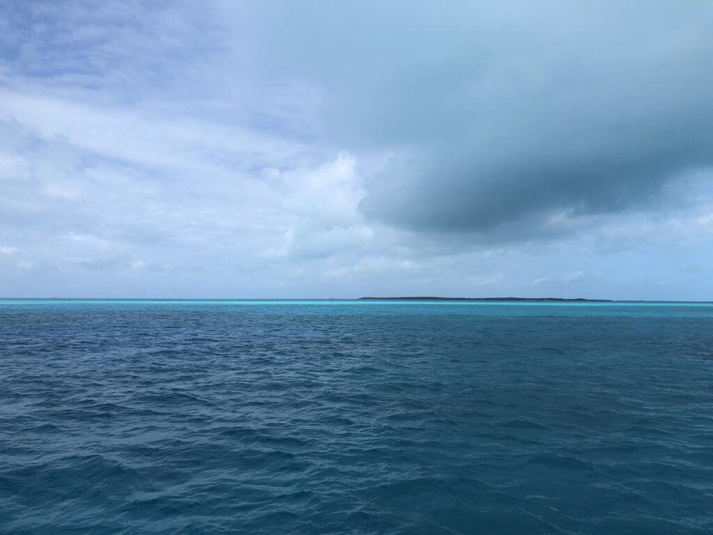
The next day we continued north to French Wells. I noticed a very spectacular phenomenon in the sky while sailing around the Acklins. The Bight of Acklins, which is a large very shallow bit of ocean between Acklin and Crooked Island, had this beautiful turquoise water that the Bahamas are famous for. But since this area was so large, the light reflected from the water coloured the sky differently, it was much more turquoise than usual. As we were sailing right on the edge of the Bight of Acklins, there was a great difference in the sky colour between the starboard and portside of our boat. In fact, we would often spot different sky colours in the distance, and we were able to identify an island with it (or rather the water around it). This was quite an interesting navigational aid new to us. I can only imagine how excited ancient seafarers would get to spot land in the distance by the colour of the sky.
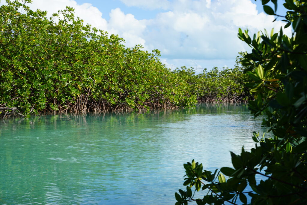
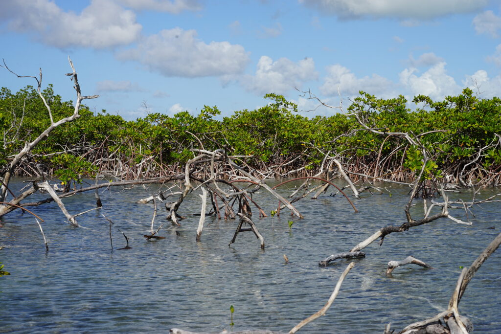
French Wells was an inlet between the Bight of Acklins and the Atlantic Ocean. As there are only a few such entrances, there is an enormous amount of water that runs through it with the tides producing very strong currents. Since the amount of water is restricted by these inlets, the tide inside the Bight is delayed, as much as three hours behind. In the Bahamas, these inlets are often called Cuts. We saw two other boats anchoring right in the middle of French Well Cut, but we decided to take it safe and anchor on the outside. It turned out to be the wiser decision, as a few hours later the two catamarans came back out and placed themselves next to us. Probably the current was too strong and the anchor did not hold. We took the Dinghy to explore the nearby mangroves in the afternoon. We wanted to float into the mangroves with the rising tide and out again with the falling tide. But we underestimated the delay of the tides in the Bight which meant we had to do quite a lot of strenuous rowing to get back out again (well, we decided to row as it was much nicer than with a loud motor running). Right at the entrance we saw two little sharks swimming around in knee-deep water, the first ones we saw in the Bahamas. The creek was quite nice, we saw a turtle as well, but we were probably a bit spoiled by the beautiful mangroves in Puerto Rico.
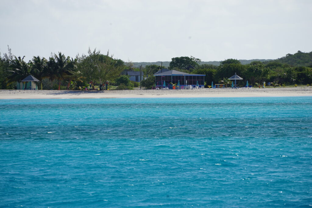
The next hop was from Crooked Island where French Wells is located to the southern end of Long Island. After arriving at a nice beach, we went to Gordons Bar. We were the only guests and started talking to the incredibly nice owner. He had a TV running which was showing a recap of a free-diving (without oxygen tanks) competition that takes place every year on Long Island where the current record is 120 m deep. Scattered through the Bahamas are multiple of these so-called blue holes. They are large marine sinkholes that can reach depths of several hundred meters and have a dark blue colour contrasting the surrounding shallower light blue water. Dean‘s Blue Hole is on Long Island and is 202 m deep, the world’s third deepest blue hole.
Diego was brave enough to order Conch fritters. Conch is the national dish of the Bahamas, a sea snail with a beautiful pink shell that can grow up to a foot long. But as with most shellfish, in my opinion, they taste quite bland, so they are usually deep-fried and don’t taste of much more than the batter.
We left Long Island the next day because we still had a long way to go until we reached the Exumas, where we would be meeting some more friends and Diego would be flying home from. We sailed to Water Cay which is part of the Jumento Cays, also called the Ragged Islands. This is a small island chain, barely visible on a satellite map that spans over 70 nautical miles. It quickly became clear to us why they are called Ragged Islands, they were very rocky small islands in the middle of the ocean. All these long sailing days became quite tiring for Jenny and me, not so for Diego who was still full of energy. The sailing was really great though. We mostly had good winds and some shelter from the swell from the island chains north of us.
Water Cay provided us with reasonable shelter (although some good roll) and a good stopover point before we could make more progress towards the Exumas. Due to the strong current and little space in the anchorage, I decided to recruit Diego to set out a stern anchor. The problem with the current is, that with every tide change the boat swings 180° around the anchor and the anchor has to reset itself every time. Putting out a stern anchor would prevent that and the boat would stay in a more fixed position, switching the load from one anchor to the other with each tidal cycle, without the anchor having to dig itself in again every time. The result would be a more relaxing night for the captains, with peace of mind that the anchor won’t slip. But this meant digging out our second 20 kg anchor from a locker and attaching our 70 m long rope to it. We took it out in the dinghy and tried to set it around 30-50 m from the stern of our boat which was incredibly difficult to estimate. The first time the distance was too short and when we started pulling in the rope with a winch the anchor dragged. The second time it worked and we had a quiet night.
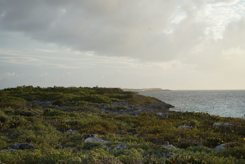
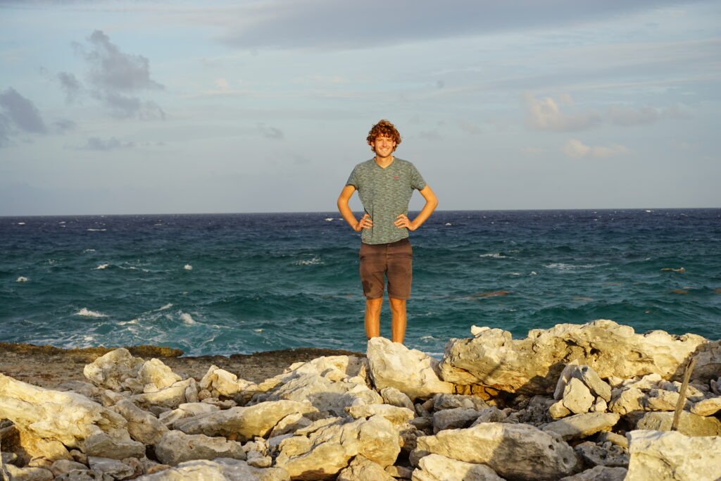
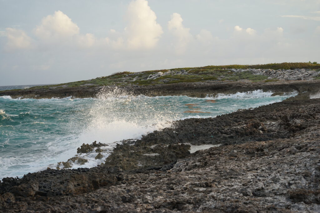
We also went onto the island of Water Cay where we beached the dinghy on a small beach. Most of the island was made up of really sharp rocks, I even cut myself on one. There were quite a few holes in the ground which were connected to the sea. As there were around 1-meter-high waves on the Atlantic side, these holes in the ground turned into big blowholes spraying out seawater many meters high into the air. Miscalculating the rhythm of the waves I got drenched because of one.
The sad thing on this island was the abundance of trash. Most other islands either have very little or no trash at all, since they get cleaned from time to time or are in the lee of the prevailing wind and swell such that the trash will not accumulate ashore. Here it was quite different. The island was full of plastic and it just accumulates here. There was even a whole boat swept ashore. But there is nothing much you can do here.
Jenny and I were discussing going through Hog Cay, which would be the shortest distance to Geoge Town where we wanted to go. But the cut was quite shallow and on one set of our maps the charted depth was only 1 meter, and we have a draft of 1.5 m. If we would get the tide right, it probably would have worked, but as we didn’t have a lot of experience going through these cuts we deemed it too risky and took another route.
We aimed for Bow Cut and wanted to spend the night there. But this alternative route was similarly risky but in another way, as we would be sailing over Grand Bahama Bank, a very large stretch of very shallow water. Sailing in these shallows of 3 to 5 meters for 30 nm already seemed a bit daunting to us. Much worse though is the fact that this whole area is scattered with coral heads that stick out from the sea floor. It didn’t help either that we’ve been having some unpredictable weather the whole week with lots of squalls that decreased water visibility significantly, something that is crucial when navigating through Grand Bahama Bank. As it is very difficult to judge the depth of these coral heads, you have to go around them. Somebody always had to be on the bow on the lookout with polarised sunglasses to spot the heads early in order to evade them. We got very close to some and sometimes it was difficult to judge which way to go to find a way out when we were in a field surrounded by coral heads. And because these coral heads grow constantly and change and move with storms every year they aren’t properly charted. We used satellite charts which showed the coral heads and in combination with keeping a sharp lookout, we managed to safely reach our destination after a couple of hours. As we were anchoring in an even narrower and shallower cut this time, we again put out our stern anchor that luckily held through the night.
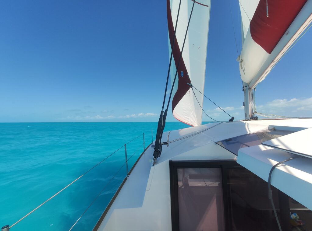
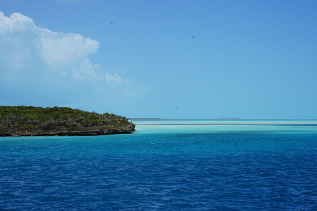
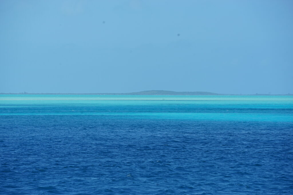
The next day we sailed to Rat Cay, which was finally on the main island chain of the Exumas. Here we had to do a lot of shallow water navigation, but we were rewarded with beautiful watercolours. After dropping the anchor, we did our first snorkelling in the Bahamas. There were two sunken trucks in the water that were full of corals and were inhabited by loads of small fish.
After another night, we sailed southeast to George Town, where we would be awaiting three more guests. Coming into Elizabeth Harbour, which is the natural harbour in front of George Town, the largest town in the Exumas, was quite a navigational challenge again. We had to judge the water depth by its colour and sail around the many shallow shifting sandbanks in our way, that cannot be charted accurately. But as we got quite comfortable doing it and had good wind, we sailed through the entrance and the whole harbour with full sails. One may argue that it was a little reckless, but definitely a lot of fun.
